


【商用可】中央アフリカ地域の白地図セットを紹介!
¥500
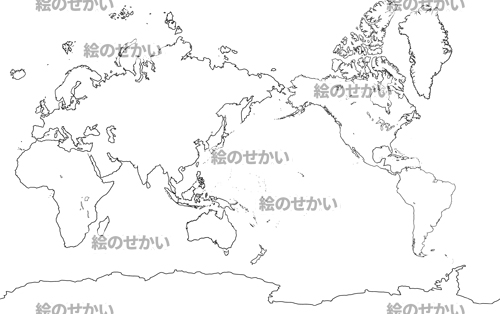
中央アフリカの地図を創ったので紹介します。
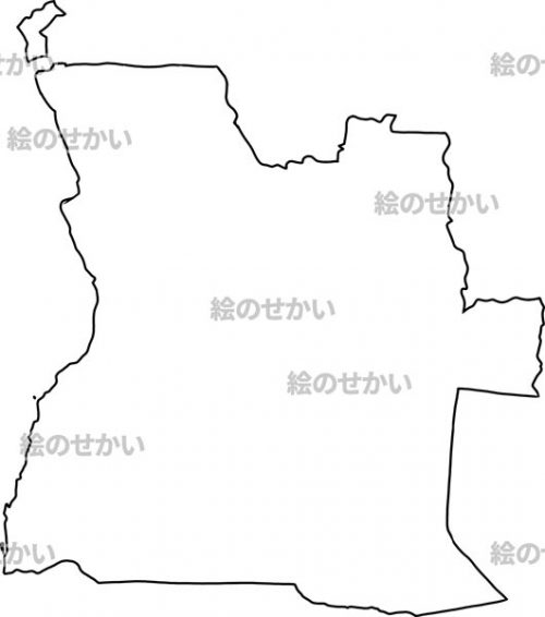
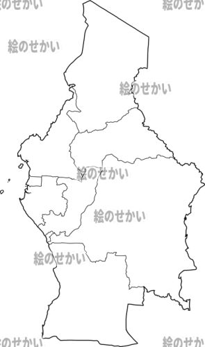
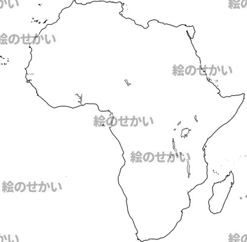
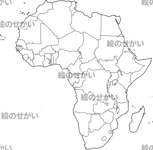
この白地図セットは、アフリカ大陸(国境線あり/なし)2種、中央アフリカ地域(国境線あり/なし)2種、アンゴラ(国境線あり/なし)2種、カメルーン(国境線あり/なし)2種、中央アフリカ共和国(国境線あり/なし)2種、チャド共和国(国境線あり/なし)2種、コンゴ共和国(国境線あり/なし)2種、コンゴ民主共和国(国境線あり/なし)2種、サントメ・プリンシペ(国境線あり/なし)5種、赤道ギニア(国境線あり/なし)2種、ガボン(国境線あり/なし)2種、日本版世界地図(国境線あり/なし)2種、海外版世界地図(国境線あり/なし)2種。
全て透過した全29種。
商用可で透過されているので加工も使い勝手も自由自在!
一国一国がバラバラなのでパズルのように組み合わせて遊べます!!
I have created a map of Central Africa, so I would like to introduce it.
This map set includes Africa (borders line N/A)2 types, Central Africa (borders line N/A)2 types, Angola (borders line N/A)2 types, Cameroon (borders line N/A)2 types, Central Africa (borders line N/A)2 types, Chad (borders line N/A)2 types, Congo (borders line N/A)2 types, Democratic Republic of the Congo (borders line N/A)2 types, Sao Tome and Principe (borders line N/A)5 types, Equatorial Guinea (borders line N/A)2 types, Gabon (borders line N/A)2 types, 2 Type of Japan World Map (borders line N/A), and 2 Type of Overseas World Map (borders line N/A).
All 29 types, PNG, all transparent.
Since it is commercially available and transparent, it can be processed and used freely!
Since each country is different, you can combine and play like a puzzle !!


レビュー
レビューはまだありません。