


【商用可】北ヨーロッパの白地図33点セットを紹介!
¥500
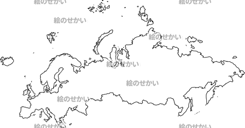
北ヨーロッパの白地図を創ったので紹介します。
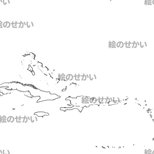
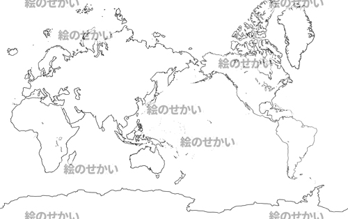
セット内容は、ヨーロッパ大陸(国境線あり/なし)2種・ロシアあり(国境線あり/なし)2種、北ヨーロッパ地域(国境線ありなし)2種、デンマーク王国(州境線ありなし)2種、イングランド(州境線ありなし)2種、エストニア共和国(州境線ありなし)2種、フィンランド共和国(州境線ありなし)2種、フェロー諸島 1種、グリーンランド(州境線ありなし)2種、アイスランド共和国(州境線ありなし)2種、アイルランド(州境線ありなし)2種、ラトビア共和国(州境線ありなし)2種、ラトビア共和国(州境線ありなし)2種、ノルウェー王国(州境線ありなし)2種、スウェーデン王国(州境線ありなし)2種、日本版世界地図2種、海外版世界地図2種。
透過した全33種。
透過してあるので加工も自由自在!!
一国一国バラバラに創ってあるのでパズルのように組み立てて遊べます!!
I have created a map of Northern Europe, so I will introduce it.
The set includes Continental Europe (borders line N/A) 2 types + Russia (borders line N/A) 2 types, 2 types of Northern Europe (borders line N/A), 2 types of Denmark (borders line N/A), 2 types of England (borders line N/A), 2 types of Estonia (borders line N/A), 2 types of Finland (borders line N/A), 1 types of Faroe Islands2, types of Greenland (borders line N/A), 2 types of Iceland (borders line N/A), 2 types of Ireland (borders line N/A), 2 types of Latvia (borders line N/A), 2 types of Lithuania (borders line N/A), 2 types of Norway (borders line N/A), 2 types of Sweden (borders line N/A), 2 types of Japan version world map (borders line N/A), and 2 types of overseas version world map (borders line N/A).
All 33 types.
Since it is transparent, it can be processed freely !!
Since it is created in each country, you can assemble and play like a puzzle !!


レビュー
レビューはまだありません。